
Tell your friends about this item:
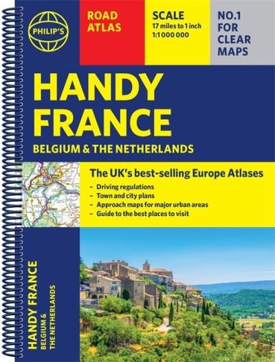
Philip's Handy Road Atlas France, Belgium and The Netherlands: Spiral A5 - Philip's Road Atlases
Philip's Maps
Our customers say:

Add to your iMusic wish list
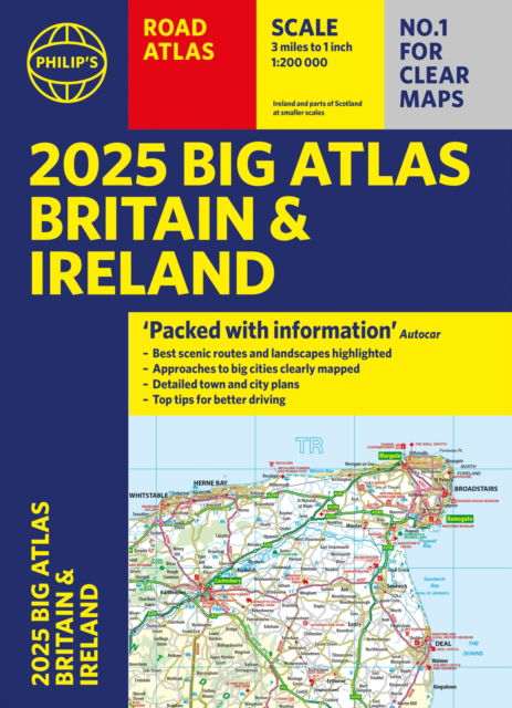
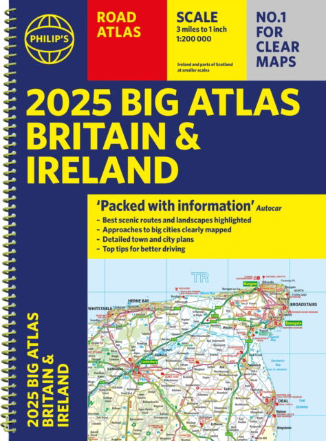
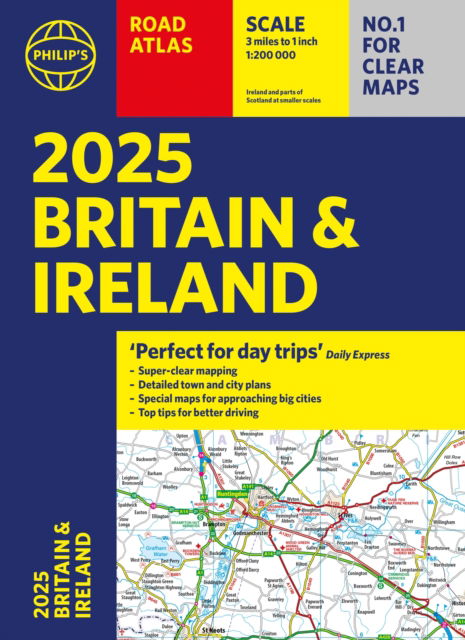
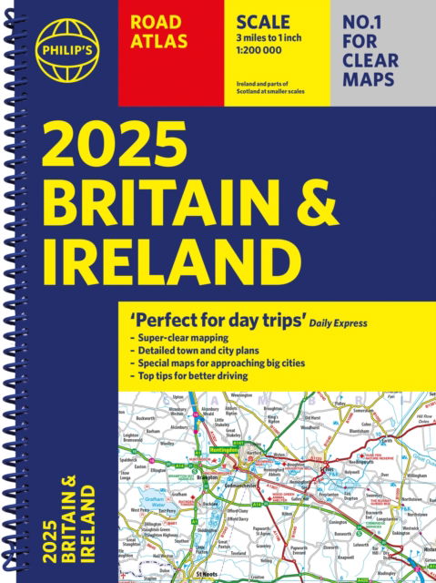
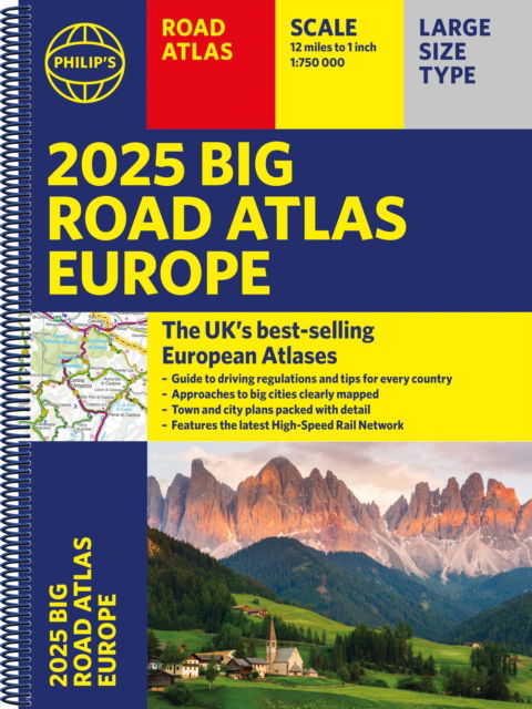
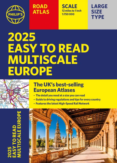
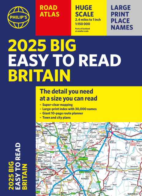
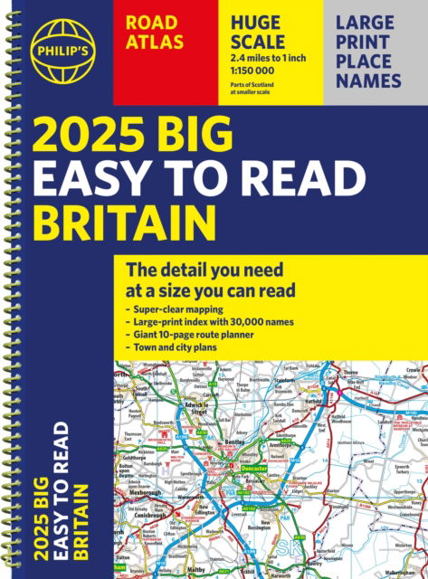
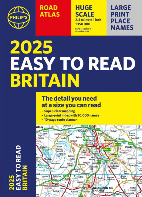
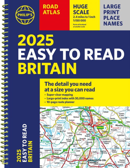
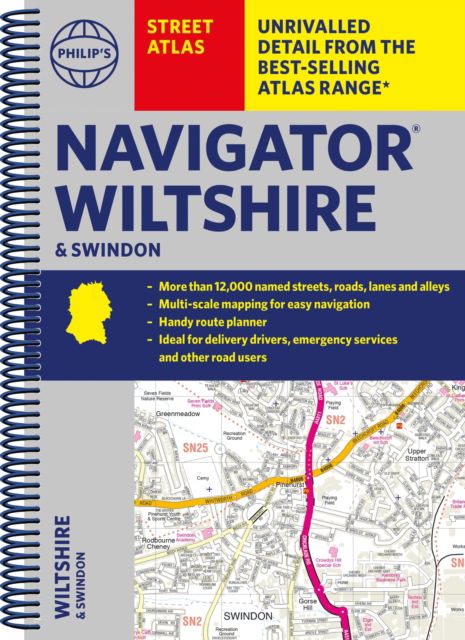
Also available as:
Philip's Handy Road Atlas France, Belgium and The Netherlands: Spiral A5 - Philip's Road Atlases
Philip's Maps
Philip's Handy Road Atlas of France, Belgium and The Netherlands features new digital cartography from Philip's - voted Britain's clearest and most detailed European mapping in an independent consumer survey. This compact A5 atlas with lie-flat binding is perfect for travelling across France and the surrounding countries.
64 pages
| Media | Books Spiral Book (Book with sewn spine) |
| Released | June 3, 2021 |
| ISBN13 | 9781849075565 |
| Publishers | Octopus Publishing Group |
| Pages | 64 |
| Dimensions | 211 × 156 × 12 mm · 116 g |
Show all
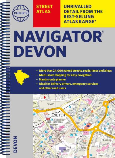
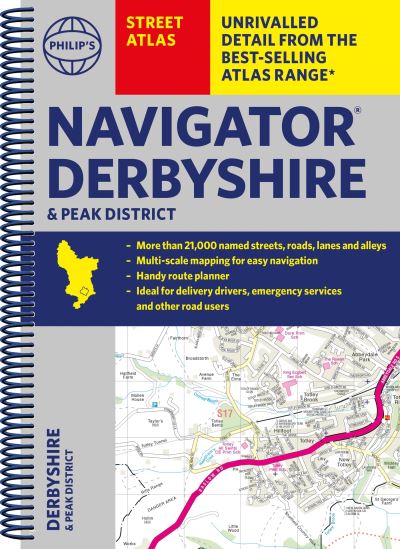
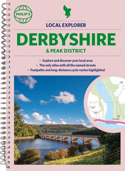
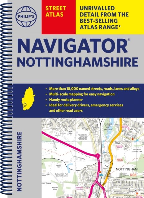
More by Philip's Maps


Others have also bought
![Cover for Per Petterson · Ud og stjæle heste (Sewn Spine Book) [3rd edition] (2008)](https://imusic.b-cdn.net/images/item/original/784/9788790524784.jpg?per-petterson-2008-ud-og-stjaele-heste-sewn-spine-book&class=scaled&v=1448129095)
![Cover for Franz Kafka · The Essential Kafka: The Castle; The Trial; Metamorphosis and Other Stories - Wordsworth Classics (Paperback Book) [UK edition] (2014)](https://imusic.b-cdn.net/images/item/original/260/9781840227260.jpg?franz-kafka-2014-the-essential-kafka-the-castle-the-trial-metamorphosis-and-other-stories-wordsworth-classics-paperback-book&class=scaled&v=1413586223)
![Cover for Rune T. Kidde · Rune T. Kidde: Den store Rune T. Kidde-bog (Bound Book) [1st edition] (2017)](https://imusic.b-cdn.net/images/item/original/616/9788771657616.jpg?rune-t-kidde-2017-rune-t-kidde-den-store-rune-t-kidde-bog-bound-book&class=scaled&v=1516615725)
![Cover for Henrik Marstal · Larmen på Strøget (Sewn Spine Book) [1st edition] (2023)](https://imusic.b-cdn.net/images/item/original/196/9788771849196.jpg?henrik-marstal-2023-larmen-paa-stroeget-sewn-spine-book&class=scaled&v=1672889331)
![Cover for Dav Pilkey · Hundemand: Hundemand (8) - Plop 22 (Bound Book) [1st edition] (2021)](https://imusic.b-cdn.net/images/item/original/225/9788711983225.jpg?dav-pilkey-2021-hundemand-hundemand-8-plop-22-bound-book&class=scaled&v=1608555208)
![Cover for Rick Riordan · Olympens helte: Olympens helte (2) - Neptuns søn (Bound Book) [2nd edition] (2019)](https://imusic.b-cdn.net/images/item/original/219/9788711915219.jpg?rick-riordan-2019-olympens-helte-olympens-helte-2-neptuns-soen-bound-book&class=scaled&v=1560096835)
![Cover for Rick Riordan · Olympens helte: Olympens helte (1) - Den fortabte helt (Bound Book) [2nd edition] (2019)](https://imusic.b-cdn.net/images/item/original/172/9788711915172.jpg?rick-riordan-2019-olympens-helte-olympens-helte-1-den-fortabte-helt-bound-book&class=scaled&v=1560096818)
![Cover for Rick Riordan · Percy Jackson: Percy Jackson (3) - Percy Jackson og titanens forbandelse (Bound Book) [3rd edition] (2018)](https://imusic.b-cdn.net/images/item/original/618/9788711901618.jpg?rick-riordan-2018-percy-jackson-percy-jackson-3-percy-jackson-og-titanens-forbandelse-bound-book&class=scaled&v=1517585114)
![Cover for Atul Gawande · Being Mortal: Illness, Medicine and What Matters in the End (Paperback Book) [Main edition] (2015)](https://imusic.b-cdn.net/images/item/original/828/9781846685828.jpg?atul-gawande-2015-being-mortal-illness-medicine-and-what-matters-in-the-end-paperback-book&class=scaled&v=1447095435)

See all of Philip's Maps ( e.g. Spiral Book , Paperback Book , Hardcover Book and Map )